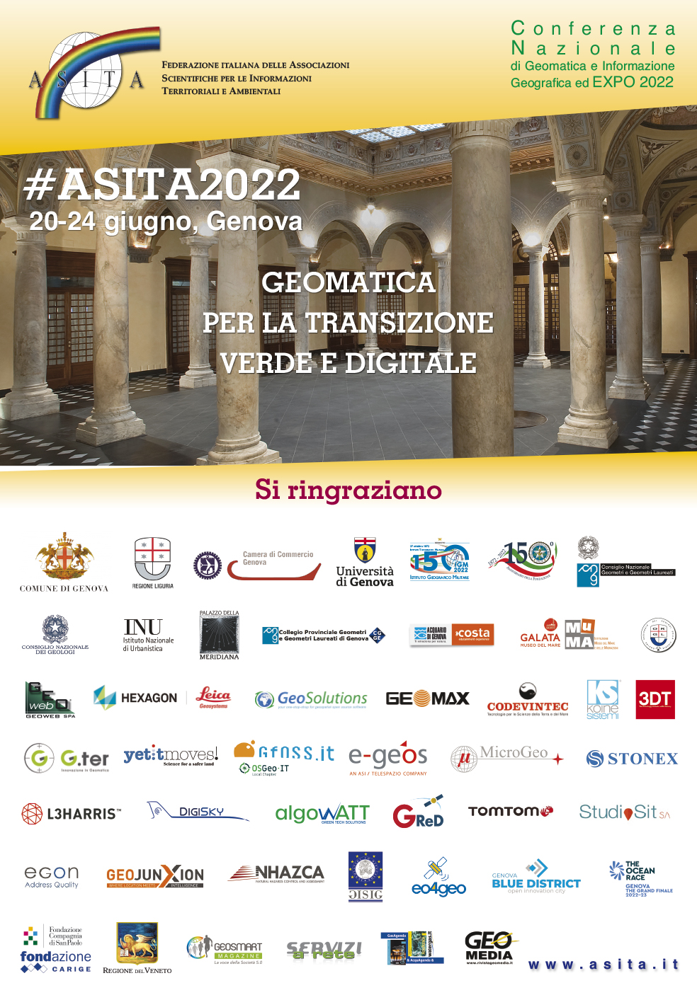
ITALIAN CONFERENCE ON GEOMATICS AND GEOSPATIAL TECHNOLOGIES #ASITA2022
Genova, 20-24th june2022
GEOMATICS FOR GREEN AND DIGITAL TRANSITION
In ASITA, professionals, teachers, technical staff of local administration and whoever dealing with Geomatics can meet to draw operational “best practices” useful for an effective technology transfer, that is now more required than ever.
ASITA 2022 will be hold in Genova and represents an opportunity to show the contribution that Geomatics can provide to the territory, included its structures and infrastructures within the framework of the Italian National Recovery and Resilience Plan (Next Generation EU).
Genova itself represents a laboratory for the mostly updated techniques for three-dimensional modelling of territory, which today finds, exactly in the urban context, a legitimacy linked to the possibility of describing its features with such a level of detail. “Urban Digital Twin” techniques can be declined in different ways useful for supporting the representation and management of cultural and archaeological heritage, social and environmental scenarios related to the natural hazards and emergencies, climate change effects, pollutants distribution, daily safety in historical centres, etc.
Additionally, issues like infrastructural and territorial monitoring, maritime cartography and its certification, as well as the sea level monitoring and its effects on the territory can be found in ASITA.
ASITA 2022, starting from the proving Liguria territorial conditions, will hopefully be the moment in which Geomatics and all its players will prove their strategic and indispensable role in the process of relaunching Italy in the post-pandemic transitional period where territorial instances are expected to play a primary role.
Topics of interest for this workshop include, but are not limited to
- Positioning, Navigation and Operational Geodesy
- Sensors, Platforms and Data Processing in Photogrammetry
- Sensors, Platforms and Data Processing in Remot and Proximal Sensing
- Geomatics for Cultural Heritage and Landscape Analysis
- Geomatics for Forestry
- Geomatics for Precision Agriculture
- Geomatics for Survey and Monitoring of Structures and Infrastructures
- Geomatics for Natural Anthropic Hazards and Risk
- Geomatics for Maritime and Coastal Applications
- Geomatics for Sustainable Development and Climate Change
- SDI and Interoperability: Now and Beyond
- Urban Digital Twin and Smart Cities, Sustainability, Landuse Planning
- Civil and Military Official Cartography and Public Administration
- Maritime Cartography
- Historical GIS: approaches to historical maps and toponims
- Geo(big)data, GeoAnalytics, AI and Decision Support
- Location-Based Services and Web Mapping
- BIM (Building Information Modelling)
- Geomatics and Education
- Copernicus Program: Services and Experiences