giovedì
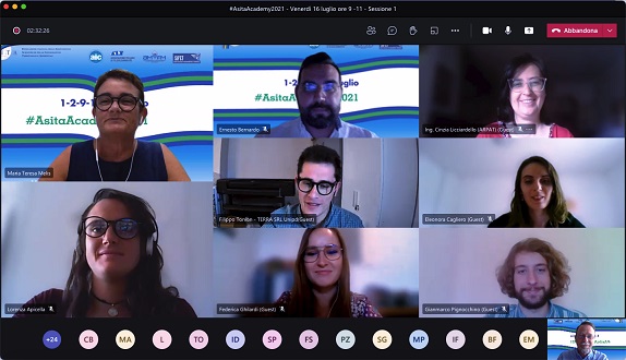
3 Giu16 luglio 2021 – Sessione 1 “From Remote Data to Applications: Challenges of the Technology Transfer”
9.00 – 11.00, SCARICA IL VIDEO DELLA SESSIONE
Moderatrice: Maria Teresa Melis, Università di Cagliari
Programma degli interventi
Copernicus Users Uptake: an overview of downstream applications
Lorenza Apicella 1, Alfonso Quarati 1, Silvia Gorni 2, Roderic Molina 2, Monica De Martino 1
1 National Research Council, Italy
2 GISIG, Geographical Information System International Group
A Proposal for Crop Damage Assessment by Floods Based on an Integrated Approach Relying on Copernicus
Sentinel Data and DTMs
Federica Ghilardi, Samuele De Petris, Filippo Sarvia, Enrico Borgogno Mondino
University of Turin
Land-cover mapping in the Biogradska Gora National Park with very-high-resolution Pléiades images
Eleonora Cagliero 1-2, Donato Morresi 3, Niccolò Marchi 1, Laure Paradis 2, Walter Finsinger 2, Matteo Garbarino 3, Emanuele Lingua 1
1 University of Padova
2 University of Montpellier
3 University of Turin
Satellite data and epidemic cartography: a study of the relationship between the concentration of NO2 and the
COVID-19 epidemic
Gianmarco Pignocchino, Alessandro Pezzoli, Angelo Besana
Politecnico and University of Turin
Artificial Intelligence for a multi-temporal classification of fluvial geomorphic units of the river Isonzo: a
comparison of different techniques
Filippo Tonion 1-2, Francesco Pirotti 1
1 University of Padova
2 T.E.R.R.A. S.r.l.
From Remote Sensing to Decision Support system for industrial quarry basins
Cinzia Licciardello, Antonio Di Marco, Stefania Biagini, Khalil Tayeh, Diego Palazzuoli
ARPAT
UAV for Precision Agriculture in Vineyards: a Case Study in Calabria
Giuliana Bilotta 1, Ernesto Bernardo 2
1 University IUAV of Venice
2 University “Mediterranea” of Reggio Calabria
Airborne and spaceborne remote sensing data integration for 3D monitoring of complex quarry environments
Cinzia Licciardello
ARPAT